Clay Street
Introduction
The photograph on this page of Clay Street by Alan Murray-Rust as part of the Geograph project.
The Geograph project started in 2005 with the aim of publishing, organising and preserving representative images for every square kilometre of Great Britain, Ireland and the Isle of Man.

There are currently over 7.5m images from over 14,400 individuals and you can help contribute to the project by visiting https://www.geograph.org.uk
Clay Street
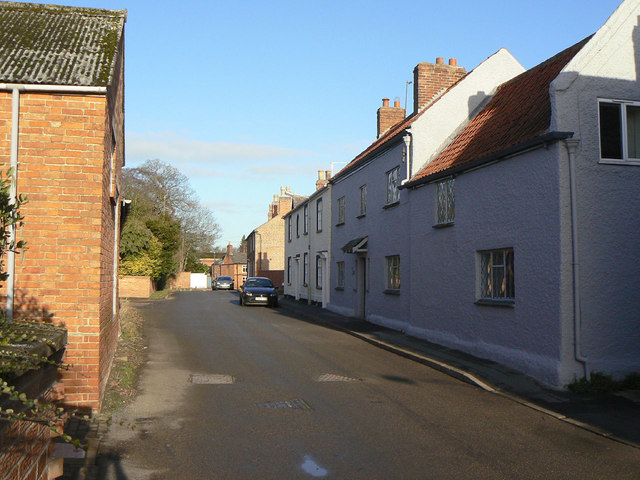
Image: © Alan Murray-Rust Taken: 12 Dec 2011
This represents the western edge of the village before 20th century expansion. Most of the houses would appear to date from the early part of the 19th century, maybe a bit earlier.
Images are licensed for reuse under creativecommons.org/licenses/by-sa/2.0
Image Location
Latitude
52.805359
Longitude
-1.110664