RAF Wymeswold
Introduction
The photograph on this page of RAF Wymeswold by Alan Murray-Rust as part of the Geograph project.
The Geograph project started in 2005 with the aim of publishing, organising and preserving representative images for every square kilometre of Great Britain, Ireland and the Isle of Man.

There are currently over 7.5m images from over 14,400 individuals and you can help contribute to the project by visiting https://www.geograph.org.uk
RAF Wymeswold
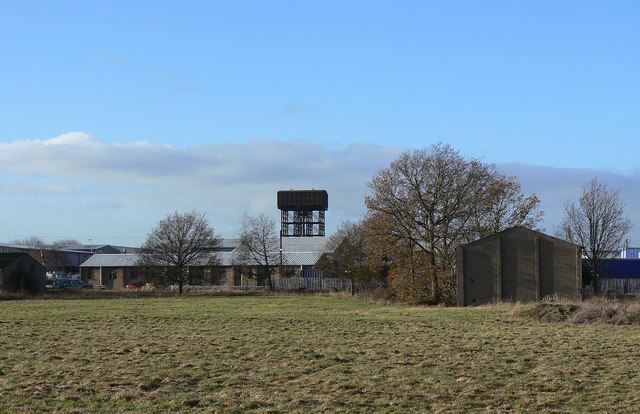
Image: © Alan Murray-Rust Taken: 12 Dec 2011
A view from the road between Burton and Wymeswold showing some of the buildings and the water town remaining from its period as a wartime airfield. The area is now an industrial estate.
Images are licensed for reuse under creativecommons.org/licenses/by-sa/2.0
Image Location
Latitude
52.794193
Longitude
-1.120235