Leas Farm [2]
Introduction
The photograph on this page of Leas Farm [2] by Michael Dibb as part of the Geograph project.
The Geograph project started in 2005 with the aim of publishing, organising and preserving representative images for every square kilometre of Great Britain, Ireland and the Isle of Man.

There are currently over 7.5m images from over 14,400 individuals and you can help contribute to the project by visiting https://www.geograph.org.uk
Leas Farm [2]
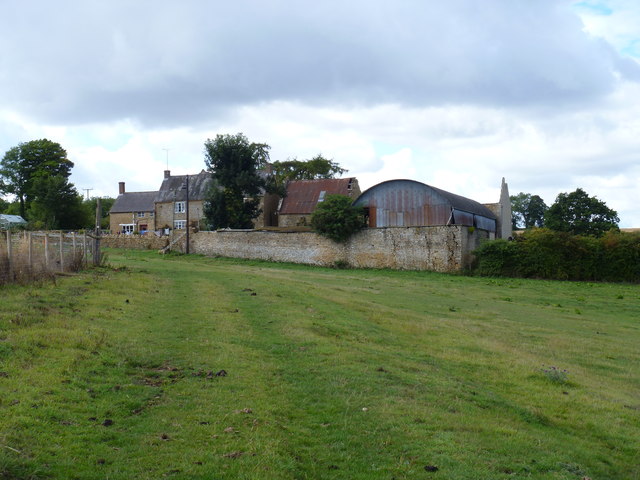
Image: © Michael Dibb Taken: 28 Aug 2011
Seen from the footpath, the farm is not as well-cared for as it seemed from a distance. Formerly known as Leys Farm, the farmhouse (on the left of the group of buildings) is listed grade II. More details at http://www.britishlistedbuildings.co.uk/en-244013-leas-farmhouse-hook-norton
Images are licensed for reuse under creativecommons.org/licenses/by-sa/2.0
Image Location
Latitude
52.022012
Longitude
-1.505774