Boundary
Introduction
The photograph on this page of Boundary by Chris McAuley as part of the Geograph project.
The Geograph project started in 2005 with the aim of publishing, organising and preserving representative images for every square kilometre of Great Britain, Ireland and the Isle of Man.

There are currently over 7.5m images from over 14,400 individuals and you can help contribute to the project by visiting https://www.geograph.org.uk
Boundary
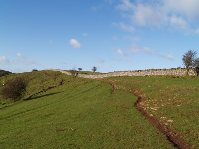
Image: © Chris McAuley Taken: 27 Nov 2011
The drystone wall marks the line of the County Constituency and Unitary Authorities Boundary. The West Mendip Way also follows the line of this wall, across the top of Compton Hill and Barton Hill.
Images are licensed for reuse under creativecommons.org/licenses/by-sa/2.0
Image Location
Latitude
51.30178
Longitude
-2.869492