Bench Mark, Park Wall, Bulbridge
Introduction
The photograph on this page of Bench Mark, Park Wall, Bulbridge by Maigheach-gheal as part of the Geograph project.
The Geograph project started in 2005 with the aim of publishing, organising and preserving representative images for every square kilometre of Great Britain, Ireland and the Isle of Man.

There are currently over 7.5m images from over 14,400 individuals and you can help contribute to the project by visiting https://www.geograph.org.uk
Bench Mark, Park Wall, Bulbridge
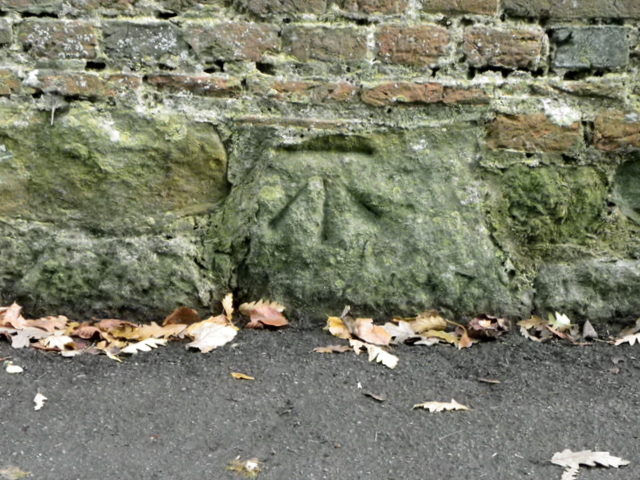
Image: © Maigheach-gheal Taken: 3 Dec 2011
The Ordnance Survey bench mark is on the wall of the boundary to Wilton Park, home of the Earl and Countess of Pembroke. For a view of the wall Image and for further information on the cut mark http://www.bench-marks.org.uk/bm40428
Images are licensed for reuse under creativecommons.org/licenses/by-sa/2.0
Image Location
Latitude
51.072855
Longitude
-1.869065