The Bell at Marston Moretaine
Introduction
The photograph on this page of The Bell at Marston Moretaine by M J Richardson as part of the Geograph project.
The Geograph project started in 2005 with the aim of publishing, organising and preserving representative images for every square kilometre of Great Britain, Ireland and the Isle of Man.

There are currently over 7.5m images from over 14,400 individuals and you can help contribute to the project by visiting https://www.geograph.org.uk
The Bell at Marston Moretaine
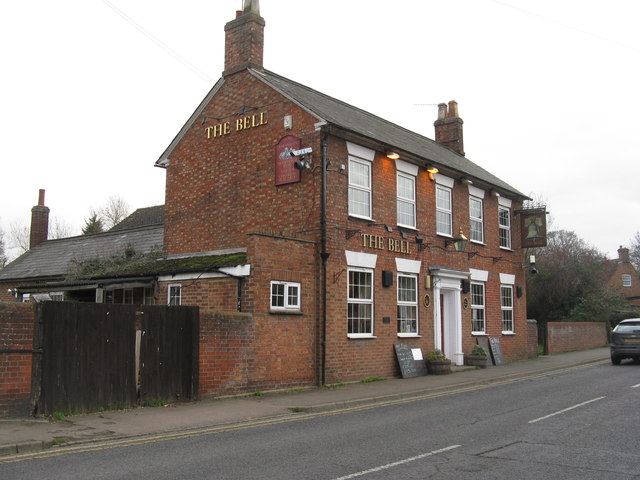
Image: © M J Richardson Taken: 28 Nov 2011
On Woburn Road, which is a continuation of Bedford Road, and would have been the main road through the village until it was by-passed.
Images are licensed for reuse under creativecommons.org/licenses/by-sa/2.0
Image Location
Latitude
52.061687
Longitude
-0.549615