Reddicap Heath crossroads
Introduction
The photograph on this page of Reddicap Heath crossroads by Graham Flint as part of the Geograph project.
The Geograph project started in 2005 with the aim of publishing, organising and preserving representative images for every square kilometre of Great Britain, Ireland and the Isle of Man.

There are currently over 7.5m images from over 14,400 individuals and you can help contribute to the project by visiting https://www.geograph.org.uk
Reddicap Heath crossroads
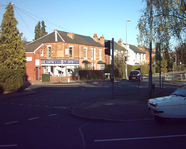
Image: © Graham Flint Taken: 1 Nov 2006
Junction of Reddicap Heath Road and Hollyfield Road, opposite shops and car parking
Images are licensed for reuse under creativecommons.org/licenses/by-sa/2.0
Image Location
Latitude
52.560428
Longitude
-1.802116