The Mast near Maidenford as seen from High Wall
Introduction
The photograph on this page of The Mast near Maidenford as seen from High Wall by Roger A Smith as part of the Geograph project.
The Geograph project started in 2005 with the aim of publishing, organising and preserving representative images for every square kilometre of Great Britain, Ireland and the Isle of Man.

There are currently over 7.5m images from over 14,400 individuals and you can help contribute to the project by visiting https://www.geograph.org.uk
The Mast near Maidenford as seen from High Wall
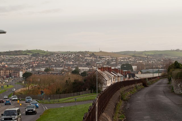
Image: © Roger A Smith Taken: 23 Nov 2011
High Wall occupies the lower right corner of the image. Sticklepath Hill is on the left.
Images are licensed for reuse under creativecommons.org/licenses/by-sa/2.0
Image Location
Latitude
51.079309
Longitude
-4.034957