River Lane
Introduction
The photograph on this page of River Lane by Robin Webster as part of the Geograph project.
The Geograph project started in 2005 with the aim of publishing, organising and preserving representative images for every square kilometre of Great Britain, Ireland and the Isle of Man.

There are currently over 7.5m images from over 14,400 individuals and you can help contribute to the project by visiting https://www.geograph.org.uk
River Lane
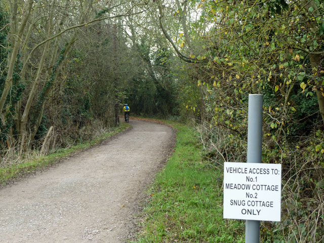
Image: © Robin Webster Taken: 21 Nov 2011
Mapped even on the Highway Authority interactive map as an ordinary byway throughout, in fact motor vehicles are prohibited beyond the last cottage.
Images are licensed for reuse under creativecommons.org/licenses/by-sa/2.0
Image Location
Latitude
51.30357
Longitude
-0.351422