The end of Douglas Street/Queen Street
Introduction
The photograph on this page of The end of Douglas Street/Queen Street by Gerald England as part of the Geograph project.
The Geograph project started in 2005 with the aim of publishing, organising and preserving representative images for every square kilometre of Great Britain, Ireland and the Isle of Man.

There are currently over 7.5m images from over 14,400 individuals and you can help contribute to the project by visiting https://www.geograph.org.uk
The end of Douglas Street/Queen Street
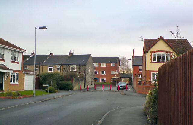
Image: © Gerald England Taken: 21 Nov 2011
Queen Street originally ran from the junction of Dowson Road and Market Street to Lumn Road through the James North leather works. After the factory was demolished following closure in the 1990s, Greenfield School was built across the Market Street end of the road. An estate of new houses was built on the rest of the factory site. The Eastern end of Queen Street was renamed Douglas Street, the continuation of a street that previously ran at right angles to Queen Street. The access on to Lumn Road has been blocked off.
Images are licensed for reuse under creativecommons.org/licenses/by-sa/2.0
Image Location
Latitude
53.448143
Longitude
-2.070728