Lane and The Skirrid
Introduction
The photograph on this page of Lane and The Skirrid by Jonathan Billinger as part of the Geograph project.
The Geograph project started in 2005 with the aim of publishing, organising and preserving representative images for every square kilometre of Great Britain, Ireland and the Isle of Man.

There are currently over 7.5m images from over 14,400 individuals and you can help contribute to the project by visiting https://www.geograph.org.uk
Lane and The Skirrid
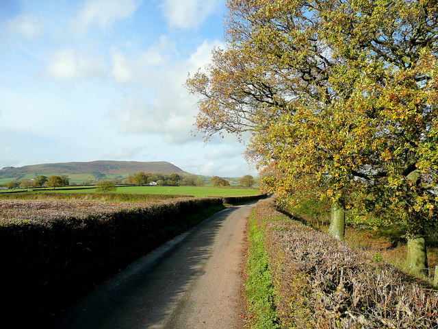
Image: © Jonathan Billinger Taken: 17 Nov 2011
The distinctive upturned-boat shape of the hill viewed along a lane near Great Blaen-coed.
Images are licensed for reuse under creativecommons.org/licenses/by-sa/2.0
Image Location
Latitude
51.839515
Longitude
-2.934826