Millway
Introduction
The photograph on this page of Millway by Ian Capper as part of the Geograph project.
The Geograph project started in 2005 with the aim of publishing, organising and preserving representative images for every square kilometre of Great Britain, Ireland and the Isle of Man.

There are currently over 7.5m images from over 14,400 individuals and you can help contribute to the project by visiting https://www.geograph.org.uk
Millway
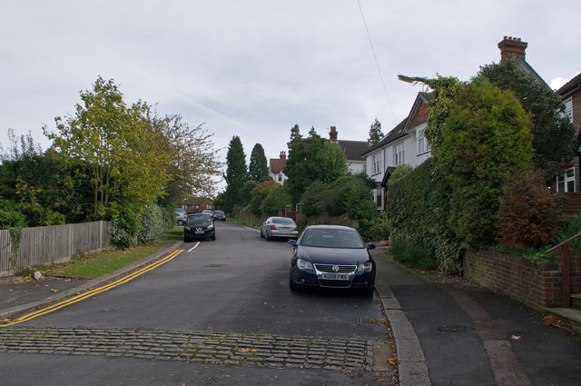
Image: © Ian Capper Taken: 9 Oct 2011
The road name refers to Blackborough Mill, whose site was at the top end of this close. The mill, a post mill, was built around 1736, but had fallen into disuse by 1900 and was demolished in 1936. Millway first appears on maps in the early 20th century.
Images are licensed for reuse under creativecommons.org/licenses/by-sa/2.0
Image Location
Latitude
51.237045
Longitude
-0.185666