National Cycle Network route 72
Introduction
The photograph on this page of National Cycle Network route 72 by Dave Dunford as part of the Geograph project.
The Geograph project started in 2005 with the aim of publishing, organising and preserving representative images for every square kilometre of Great Britain, Ireland and the Isle of Man.

There are currently over 7.5m images from over 14,400 individuals and you can help contribute to the project by visiting https://www.geograph.org.uk
National Cycle Network route 72
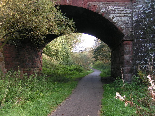
Image: © Dave Dunford Taken: 15 Oct 2006
NCN route 72 follows a disused railway line under the A595 between Whitehaven and Egremont, part of a route from Whitehaven to Ennerdale advertised as "linking the Sea to the Fells".
Images are licensed for reuse under creativecommons.org/licenses/by-sa/2.0
Image Location
Latitude
54.512225
Longitude
-3.552293