View to Nottingham
Introduction
The photograph on this page of View to Nottingham by Alan Murray-Rust as part of the Geograph project.
The Geograph project started in 2005 with the aim of publishing, organising and preserving representative images for every square kilometre of Great Britain, Ireland and the Isle of Man.

There are currently over 7.5m images from over 14,400 individuals and you can help contribute to the project by visiting https://www.geograph.org.uk
View to Nottingham
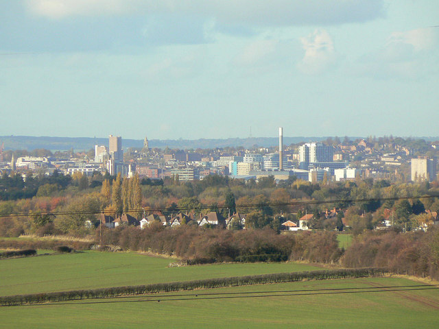
Image: © Alan Murray-Rust Taken: 1 Nov 2011
Some 8 kilometres distant in and around Image The tall chimney is the refuse incinerator; the tallest building towards the left is Victoria Centre Flats.
Images are licensed for reuse under creativecommons.org/licenses/by-sa/2.0
Image Location
Latitude
52.881083
Longitude
-1.090987