Hoole Village Penfold
Introduction
The photograph on this page of Hoole Village Penfold by BrianPritchard as part of the Geograph project.
The Geograph project started in 2005 with the aim of publishing, organising and preserving representative images for every square kilometre of Great Britain, Ireland and the Isle of Man.

There are currently over 7.5m images from over 14,400 individuals and you can help contribute to the project by visiting https://www.geograph.org.uk
Hoole Village Penfold
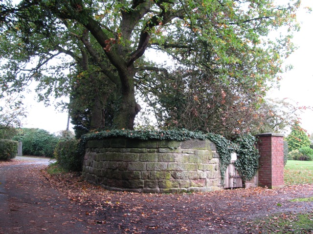
Image: © BrianPritchard Taken: 9 Nov 2011
The Penfold stands in Oakbank Lane, used to contain sheep or cattle which have strayed. It is constructed of local sandstone blocks, and has been restored and the gate renewed.
Images are licensed for reuse under creativecommons.org/licenses/by-sa/2.0
Image Location
Latitude
53.21277
Longitude
-2.850648