Guildhall Street
Introduction
The photograph on this page of Guildhall Street by kim traynor as part of the Geograph project.
The Geograph project started in 2005 with the aim of publishing, organising and preserving representative images for every square kilometre of Great Britain, Ireland and the Isle of Man.

There are currently over 7.5m images from over 14,400 individuals and you can help contribute to the project by visiting https://www.geograph.org.uk
Guildhall Street
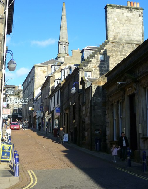
Image: © kim traynor Taken: 27 Oct 2011
"The High Street, which I had considered not a bad Broadway, uncle's shop, which I had compared with some New York establishments, the little mounds about the town, to which we had run on Sundays to play, the distances, the height of the houses, all had shrunk. Here was a city of the Lilliputians. I could almost touch the eaves of the house in which I was born, and the sea - to walk to which on a Saturday had been considered quite a feat - was only three miles distant. The rocks at the seashore, among which I had gathered wilks (whelks) seemed to have vanished, and a tame flat shoal remained. The schoolhouse, around which had centred many of my schoolboy recollections - my only Alma Mater - and the playground upon which mimic battles had been fought and races run, had shrunk into ridiculously small dimensions. (...) What I felt on a later occasion on a visit to Japan, with its small toy houses, was something like a repetition of the impression my old home made upon me. Everything was there in miniature." -- Andrew Carnegie revisiting the town of his birth in 1862.
Images are licensed for reuse under creativecommons.org/licenses/by-sa/2.0
Image Location
Latitude
56.070849
Longitude
-3.461593