Bedford bypass / Meadow Lane
Introduction
The photograph on this page of Bedford bypass / Meadow Lane by Mr Ignavy as part of the Geograph project.
The Geograph project started in 2005 with the aim of publishing, organising and preserving representative images for every square kilometre of Great Britain, Ireland and the Isle of Man.

There are currently over 7.5m images from over 14,400 individuals and you can help contribute to the project by visiting https://www.geograph.org.uk
Bedford bypass / Meadow Lane
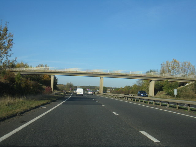
Image: © Mr Ignavy Taken: 28 Oct 2011
The sweet lane name doesn't quite fit with its current route, to the left is the sewage works, to the right is the abattoir.
Images are licensed for reuse under creativecommons.org/licenses/by-sa/2.0
Image Location
Latitude
52.13062
Longitude
-0.414574