Broadstone Way
Introduction
The photograph on this page of Broadstone Way by Peter Kazmierczak as part of the Geograph project.
The Geograph project started in 2005 with the aim of publishing, organising and preserving representative images for every square kilometre of Great Britain, Ireland and the Isle of Man.

There are currently over 7.5m images from over 14,400 individuals and you can help contribute to the project by visiting https://www.geograph.org.uk
Broadstone Way
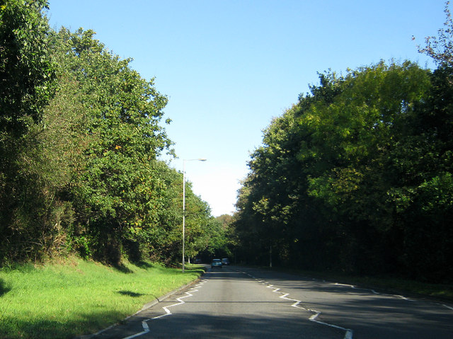
Image: © Peter Kazmierczak Taken: 28 Oct 2011
Broadstone Way was built on the alignment of the former LSWR line from Broadstone to Bournemouth West. It also carried all the traffic off the southern end of the well-known Somerset & Dorset Joint Railway.
Images are licensed for reuse under creativecommons.org/licenses/by-sa/2.0
Image Location
Latitude
50.754508
Longitude
-2.000515