A449 with railway bridges
Introduction
The photograph on this page of A449 with railway bridges by David Smith as part of the Geograph project.
The Geograph project started in 2005 with the aim of publishing, organising and preserving representative images for every square kilometre of Great Britain, Ireland and the Isle of Man.

There are currently over 7.5m images from over 14,400 individuals and you can help contribute to the project by visiting https://www.geograph.org.uk
A449 with railway bridges
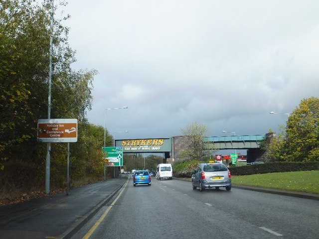
Image: © David Smith Taken: 19 Oct 2011
This line (part of the GWR) is still used for coal traffic to/from Ironbridge electricity generating station. Presumably there was one bridge originally, with a second being added when the dual carriageway was built.
Images are licensed for reuse under creativecommons.org/licenses/by-sa/2.0
Image Location
Latitude
52.599879
Longitude
-2.129735