Ostler's Lane
Introduction
The photograph on this page of Ostler's Lane by Ian Calderwood as part of the Geograph project.
The Geograph project started in 2005 with the aim of publishing, organising and preserving representative images for every square kilometre of Great Britain, Ireland and the Isle of Man.

There are currently over 7.5m images from over 14,400 individuals and you can help contribute to the project by visiting https://www.geograph.org.uk
Ostler's Lane
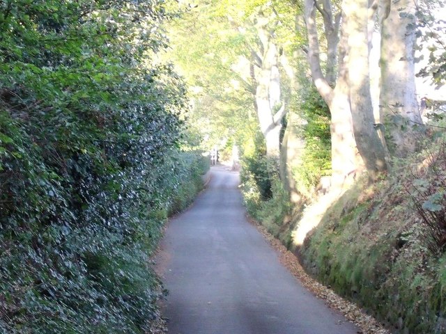
Image: © Ian Calderwood Taken: 22 Oct 2011
Ostler's Lane has been deeply hollowed, presumably by horse traffic. An ostler is a stableman at an inn.
Images are licensed for reuse under creativecommons.org/licenses/by-sa/2.0
Image Location
Latitude
53.067121
Longitude
-2.045774