Afon Brennig, Tregaron
Introduction
The photograph on this page of Afon Brennig, Tregaron by Stuart Logan as part of the Geograph project.
The Geograph project started in 2005 with the aim of publishing, organising and preserving representative images for every square kilometre of Great Britain, Ireland and the Isle of Man.

There are currently over 7.5m images from over 14,400 individuals and you can help contribute to the project by visiting https://www.geograph.org.uk
Afon Brennig, Tregaron
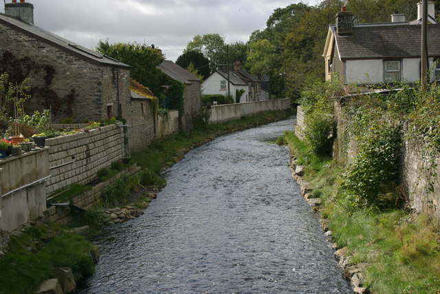
Image: © Stuart Logan Taken: 6 Oct 2011
Taken from the small bridge between Chapel Street and High Street, it's evident that this innocuous looking stream is not always so! The bridge is fitted with flood defences at either end and the stream banks are fortified with high walls.
Images are licensed for reuse under creativecommons.org/licenses/by-sa/2.0
Image Location
Latitude
52.21881
Longitude
-3.935426