The A8 Renfrew Road
Introduction
The photograph on this page of The A8 Renfrew Road by Thomas Nugent as part of the Geograph project.
The Geograph project started in 2005 with the aim of publishing, organising and preserving representative images for every square kilometre of Great Britain, Ireland and the Isle of Man.

There are currently over 7.5m images from over 14,400 individuals and you can help contribute to the project by visiting https://www.geograph.org.uk
The A8 Renfrew Road
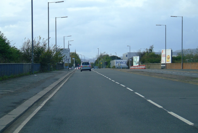
Image: © Thomas Nugent Taken: 16 Oct 2011
This was the main road from Glasgow city centre to the former Glasgow Airport at Renfrew. The M8 is just behind the bushes on the left and it leads to the present Glasgow Airport at Abbotsinch. The parapet of a bridge over the railway line to Kings Inch can be seen beside the cones on the right and the road sign on the left. This line once ran all the way to Renfrew, but now stops a few hundred metres to the right of the bridge.
Images are licensed for reuse under creativecommons.org/licenses/by-sa/2.0
Image Location
Latitude
55.866044
Longitude
-4.359724