Holmbury Camp
Introduction
The photograph on this page of Holmbury Camp by N Chadwick as part of the Geograph project.
The Geograph project started in 2005 with the aim of publishing, organising and preserving representative images for every square kilometre of Great Britain, Ireland and the Isle of Man.

There are currently over 7.5m images from over 14,400 individuals and you can help contribute to the project by visiting https://www.geograph.org.uk
Holmbury Camp
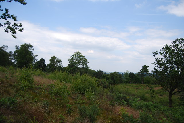
Image: © N Chadwick Taken: 3 Jul 2011
Holmbury Camp is a small Iron Age hillfort. The defences consist of double ramparts and ditches to the north and west, triple scarping to the south and double scarping to the east; the north-west and south-west angles have been eroded by quarrying. Finds included pottery, flints, beehive quern stone fragments and sling pebbles.
Images are licensed for reuse under creativecommons.org/licenses/by-sa/2.0
Image Location
Latitude
51.174945
Longitude
-0.420962