Drumfork Bridge
Introduction
The photograph on this page of Drumfork Bridge by Maigheach-gheal as part of the Geograph project.
The Geograph project started in 2005 with the aim of publishing, organising and preserving representative images for every square kilometre of Great Britain, Ireland and the Isle of Man.

There are currently over 7.5m images from over 14,400 individuals and you can help contribute to the project by visiting https://www.geograph.org.uk
Drumfork Bridge
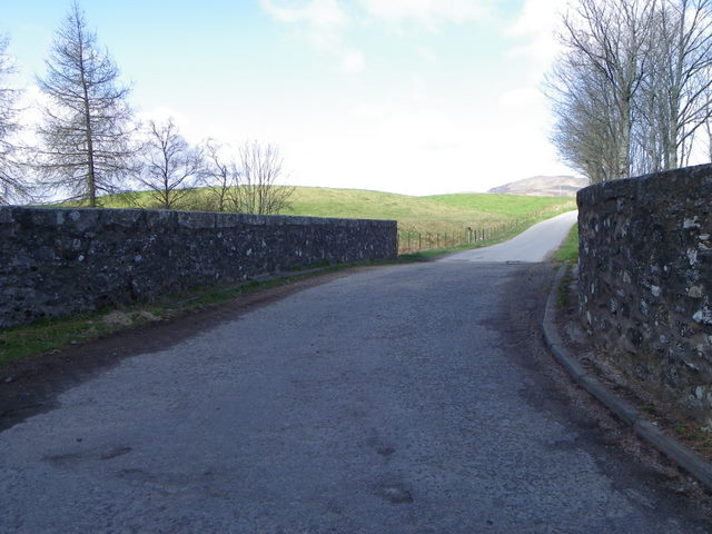
Image: © Maigheach-gheal Taken: 12 Apr 2011
The bridge carries the minor road over the Black Water and it dates from 1878.
Images are licensed for reuse under creativecommons.org/licenses/by-sa/2.0
Image Location
Latitude
56.723572
Longitude
-3.395801