The Wick
Introduction
The photograph on this page of The Wick by Ian Capper as part of the Geograph project.
The Geograph project started in 2005 with the aim of publishing, organising and preserving representative images for every square kilometre of Great Britain, Ireland and the Isle of Man.

There are currently over 7.5m images from over 14,400 individuals and you can help contribute to the project by visiting https://www.geograph.org.uk
The Wick
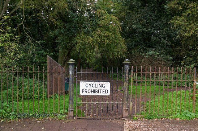
Image: © Ian Capper Taken: 16 Sep 2011
Entrance to The Wick, a surviving area of semi-natural ancient woodland off Marshal's Drive, originally called Homewood, and now a local nature reserve. See Image for wider context and see Image for close up of the reserve sign visible to the left of the gate.
Images are licensed for reuse under creativecommons.org/licenses/by-sa/2.0
Image Location
Latitude
51.762914
Longitude
-0.309805