Thatched cottages at Wiggaton
Introduction
The photograph on this page of Thatched cottages at Wiggaton by Derek Harper as part of the Geograph project.
The Geograph project started in 2005 with the aim of publishing, organising and preserving representative images for every square kilometre of Great Britain, Ireland and the Isle of Man.

There are currently over 7.5m images from over 14,400 individuals and you can help contribute to the project by visiting https://www.geograph.org.uk
Thatched cottages at Wiggaton
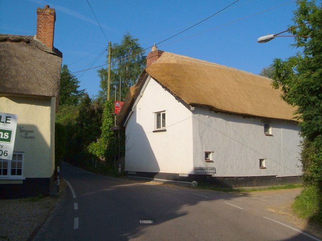
Image: © Derek Harper Taken: 5 Jun 2006
Thatch, on the corner of Sandgate Lane, is early C17 and just neatly rethatched. The description at http://www.britishlistedbuildings.co.uk/en-398458-thatch-ottery-st-mary says "No windows to road" which doesn't seem to be strictly accurate. On the left is Farthings, also listed http://www.britishlistedbuildings.co.uk/en-398457-farthings-ottery-st-mary . Both cottages also appear in Image Sandgate Lane is a track carrying Ottery St Mary Footpath 31 down to the River Otter.
Images are licensed for reuse under creativecommons.org/licenses/by-sa/2.0
Image Location
Latitude
50.7352
Longitude
-3.276285