River Moyola, Castledawson
Introduction
The photograph on this page of River Moyola, Castledawson by Kenneth Allen as part of the Geograph project.
The Geograph project started in 2005 with the aim of publishing, organising and preserving representative images for every square kilometre of Great Britain, Ireland and the Isle of Man.

There are currently over 7.5m images from over 14,400 individuals and you can help contribute to the project by visiting https://www.geograph.org.uk
River Moyola, Castledawson
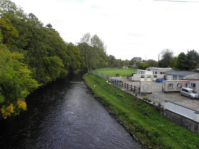
Image: © Kenneth Allen Taken: 22 Sep 2011
Looking east from Bridge Street; it's about 5km from here to where it enters Lough Neagh.
Images are licensed for reuse under creativecommons.org/licenses/by-sa/2.0
Image Location
Latitude
54.779354
Longitude
-6.556345