Course of an old Roman Road at Shortbridge
Introduction
The photograph on this page of Course of an old Roman Road at Shortbridge by Dave Spicer as part of the Geograph project.
The Geograph project started in 2005 with the aim of publishing, organising and preserving representative images for every square kilometre of Great Britain, Ireland and the Isle of Man.

There are currently over 7.5m images from over 14,400 individuals and you can help contribute to the project by visiting https://www.geograph.org.uk
Course of an old Roman Road at Shortbridge
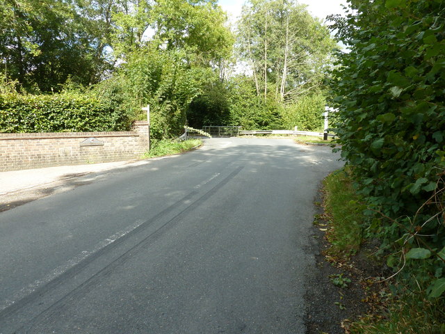
Image: © Dave Spicer Taken: 18 Sep 2011
The road intersected the junction and carried on to Ashdown Forest. The skid marks were not from a chariot.
Images are licensed for reuse under creativecommons.org/licenses/by-sa/2.0
Image Location


Leaflet Map data © OpenStreetMap
Latitude
50.972127
Longitude
0.065125