Nuthall Road
Introduction
The photograph on this page of Nuthall Road by John Sutton as part of the Geograph project.
The Geograph project started in 2005 with the aim of publishing, organising and preserving representative images for every square kilometre of Great Britain, Ireland and the Isle of Man.

There are currently over 7.5m images from over 14,400 individuals and you can help contribute to the project by visiting https://www.geograph.org.uk
Nuthall Road
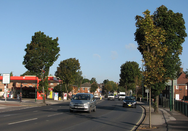
Image: © John Sutton Taken: 13 Sep 2011
Before nine on a bright September morning the majority of traffic is coming in to the city. Newcastle Colliery (1853-1928) and later Newcastle Landsale Wharf stood to the left, taking their name (as did the nearby pub) from the landowner, The Duke of Newcastle. This area was developed in the 1930s, at the same time as Western Boulevard.
Images are licensed for reuse under creativecommons.org/licenses/by-sa/2.0
Image Location
Latitude
52.975006
Longitude
-1.187902