Westbury : Rooftops and Houses
Introduction
The photograph on this page of Westbury : Rooftops and Houses by Lewis Clarke as part of the Geograph project.
The Geograph project started in 2005 with the aim of publishing, organising and preserving representative images for every square kilometre of Great Britain, Ireland and the Isle of Man.

There are currently over 7.5m images from over 14,400 individuals and you can help contribute to the project by visiting https://www.geograph.org.uk
Westbury : Rooftops and Houses
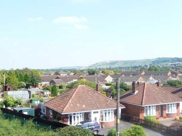
Image: © Lewis Clarke Taken: 1 Sep 2011
Rooftops and houses in Westbury as seen from a passing train not heading into the nearby station.
Images are licensed for reuse under creativecommons.org/licenses/by-sa/2.0
Image Location
Latitude
51.265105
Longitude
-2.194157