Footpath between fields west of Crook
Introduction
The photograph on this page of Footpath between fields west of Crook by Trevor Littlewood as part of the Geograph project.
The Geograph project started in 2005 with the aim of publishing, organising and preserving representative images for every square kilometre of Great Britain, Ireland and the Isle of Man.

There are currently over 7.5m images from over 14,400 individuals and you can help contribute to the project by visiting https://www.geograph.org.uk
Footpath between fields west of Crook
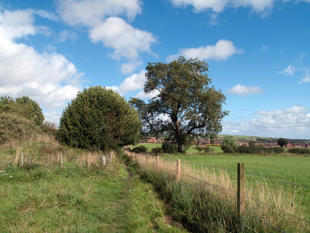
Image: © Trevor Littlewood Taken: 6 Sep 2011
Footpaths converge from three directions and meet at this location south of West Roddymoor; housing at the west side of the small town of Crook can be seen beyond the fields.
Images are licensed for reuse under creativecommons.org/licenses/by-sa/2.0
Image Location
Latitude
54.716972
Longitude
-1.763085