Path to the pylon
Introduction
The photograph on this page of Path to the pylon by Stephen Craven as part of the Geograph project.
The Geograph project started in 2005 with the aim of publishing, organising and preserving representative images for every square kilometre of Great Britain, Ireland and the Isle of Man.

There are currently over 7.5m images from over 14,400 individuals and you can help contribute to the project by visiting https://www.geograph.org.uk
Path to the pylon
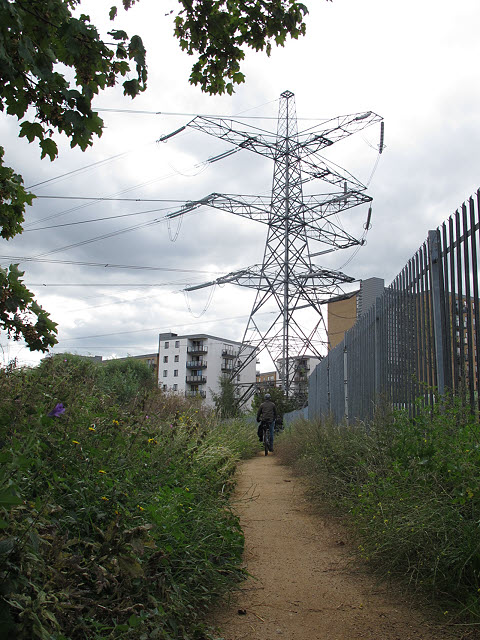
Image: © Stephen Craven Taken: 29 Aug 2011
The path in this view is part of the Wandle Trail. The pylon is the termination of the 275kV network before it goes in to the nearby substation to be transformed to 132kV for onward transmission into London. The blocks of flats in the background were built on the site of the former Plough Lane football stadium.
Images are licensed for reuse under creativecommons.org/licenses/by-sa/2.0
Image Location
Latitude
51.429322
Longitude
-0.189381