The Black Boy sign
Introduction
The photograph on this page of The Black Boy sign by Oast House Archive as part of the Geograph project.
The Geograph project started in 2005 with the aim of publishing, organising and preserving representative images for every square kilometre of Great Britain, Ireland and the Isle of Man.

There are currently over 7.5m images from over 14,400 individuals and you can help contribute to the project by visiting https://www.geograph.org.uk
The Black Boy sign
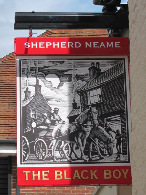
Image: © Oast House Archive Taken: 29 Aug 2011
Sign for Image], a Shepherd Neame pub on Bank Street.
Images are licensed for reuse under creativecommons.org/licenses/by-sa/2.0
Image Location
Latitude
51.271094
Longitude
0.192048