Early graffiti in Eastry caves
Introduction
The photograph on this page of Early graffiti in Eastry caves by Nick Smith as part of the Geograph project.
The Geograph project started in 2005 with the aim of publishing, organising and preserving representative images for every square kilometre of Great Britain, Ireland and the Isle of Man.

There are currently over 7.5m images from over 14,400 individuals and you can help contribute to the project by visiting https://www.geograph.org.uk
Early graffiti in Eastry caves
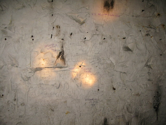
Image: © Nick Smith Taken: 20 May 2009
Various visitor graffiti in Eastry caves, many of the long established village family names can be found on the walls. Exact location and view direction very difficult to estimate. Eastry Chalk Mine was started in 1811 for a lime burning business and remained in production until 1914. See http://www.undergroundkent.co.uk/eastrymine.htm
Images are licensed for reuse under creativecommons.org/licenses/by-sa/2.0
Image Location
Latitude
51.247495
Longitude
1.307146