Croydon Riots - demolition
Introduction
The photograph on this page of Croydon Riots - demolition by Peter Trimming as part of the Geograph project.
The Geograph project started in 2005 with the aim of publishing, organising and preserving representative images for every square kilometre of Great Britain, Ireland and the Isle of Man.

There are currently over 7.5m images from over 14,400 individuals and you can help contribute to the project by visiting https://www.geograph.org.uk
Croydon Riots - demolition
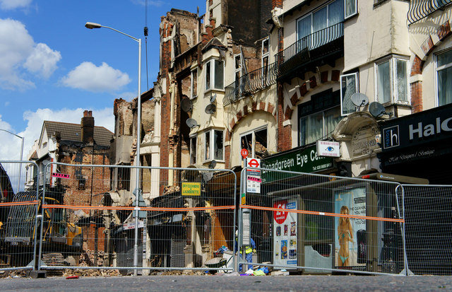
Image: © Peter Trimming Taken: 15 Aug 2011
London Road, Broad Green. Following the riots and arson of 8th August 2011, 'Royal Mansions' are being demolished.
Images are licensed for reuse under creativecommons.org/licenses/by-sa/2.0
Image Location
Latitude
51.382879
Longitude
-0.107144