Coastline at Ardersier
Introduction
The photograph on this page of Coastline at Ardersier by Colin Smith as part of the Geograph project.
The Geograph project started in 2005 with the aim of publishing, organising and preserving representative images for every square kilometre of Great Britain, Ireland and the Isle of Man.

There are currently over 7.5m images from over 14,400 individuals and you can help contribute to the project by visiting https://www.geograph.org.uk
Coastline at Ardersier
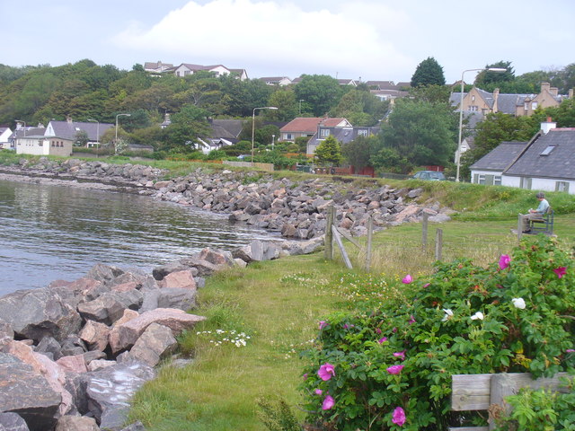
Image: © Colin Smith Taken: 1 Aug 2011
Large rock blocks protect the littoral road, Old Military Road, at Ardersier on the Moray Firth. The picnic bench here offers panoramic views to Inverness and across the firth towards the Black Isle.
Images are licensed for reuse under creativecommons.org/licenses/by-sa/2.0
Image Location
Latitude
57.563718
Longitude
-4.039843