High Street, Staithes
Introduction
The photograph on this page of High Street, Staithes by Dave Hitchborne as part of the Geograph project.
The Geograph project started in 2005 with the aim of publishing, organising and preserving representative images for every square kilometre of Great Britain, Ireland and the Isle of Man.

There are currently over 7.5m images from over 14,400 individuals and you can help contribute to the project by visiting https://www.geograph.org.uk
High Street, Staithes
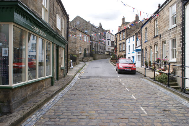
Image: © Dave Hitchborne Taken: 9 Aug 2011
Looking up the cobbled High Street to what appears to be a chapel; former or otherwise. I can't view it in Streetview as this area hasn't been covered.
Images are licensed for reuse under creativecommons.org/licenses/by-sa/2.0
Image Location
Latitude
54.558679
Longitude
-0.792744