Path on Petersham Meadows
Introduction
The photograph on this page of Path on Petersham Meadows by Marathon as part of the Geograph project.
The Geograph project started in 2005 with the aim of publishing, organising and preserving representative images for every square kilometre of Great Britain, Ireland and the Isle of Man.

There are currently over 7.5m images from over 14,400 individuals and you can help contribute to the project by visiting https://www.geograph.org.uk
Path on Petersham Meadows
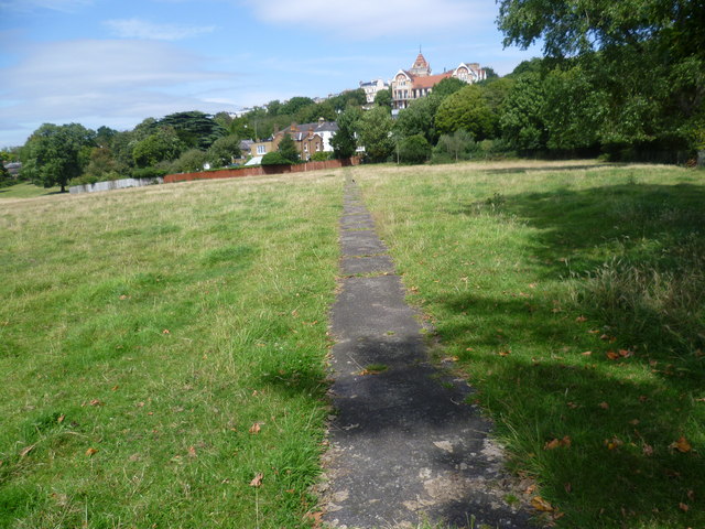
Image: © Marathon Taken: 10 Aug 2011
Petersham Meadows were a part of the estate attached to Ham House from the early 17th Century until the latter years of the 19th Century. The Meadows are now managed by the National Trust. The building with the turret is The Petersham Hotel & Restaurant.
Images are licensed for reuse under creativecommons.org/licenses/by-sa/2.0
Image Location
Latitude
51.45005
Longitude
-0.30053