Weir Road
Introduction
The photograph on this page of Weir Road by Bryan Tenny as part of the Geograph project.
The Geograph project started in 2005 with the aim of publishing, organising and preserving representative images for every square kilometre of Great Britain, Ireland and the Isle of Man.

There are currently over 7.5m images from over 14,400 individuals and you can help contribute to the project by visiting https://www.geograph.org.uk
Weir Road
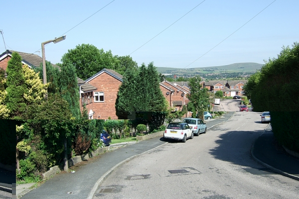
Image: © Bryan Tenny Taken: 19 Apr 2011
Weir Road is a no through road. Part of a 1970s/80s housing estate in Milnrow, the road has two bends. This view is taken down the hill from the upper bend.
Images are licensed for reuse under creativecommons.org/licenses/by-sa/2.0
Image Location
Latitude
53.615202
Longitude
-2.115147