Kirkcudbright Bowling Club
Introduction
The photograph on this page of Kirkcudbright Bowling Club by Rose and Trev Clough as part of the Geograph project.
The Geograph project started in 2005 with the aim of publishing, organising and preserving representative images for every square kilometre of Great Britain, Ireland and the Isle of Man.

There are currently over 7.5m images from over 14,400 individuals and you can help contribute to the project by visiting https://www.geograph.org.uk
Kirkcudbright Bowling Club
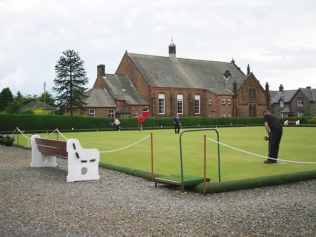
Image: © Rose and Trev Clough Taken: 10 Jul 2011
The club has a long history - the green here was opened in 1856 http://www.stewartrybowling.org/clubs/#kirkcudbright . The building behind the green is Kirkcudbright Parish Church Hall, built in the late 19th century.
Images are licensed for reuse under creativecommons.org/licenses/by-sa/2.0
Image Location
Latitude
54.835497
Longitude
-4.050032