Snow covered lane, Coxhoe
Introduction
The photograph on this page of Snow covered lane, Coxhoe by David Robinson as part of the Geograph project.
The Geograph project started in 2005 with the aim of publishing, organising and preserving representative images for every square kilometre of Great Britain, Ireland and the Isle of Man.

There are currently over 7.5m images from over 14,400 individuals and you can help contribute to the project by visiting https://www.geograph.org.uk
Snow covered lane, Coxhoe
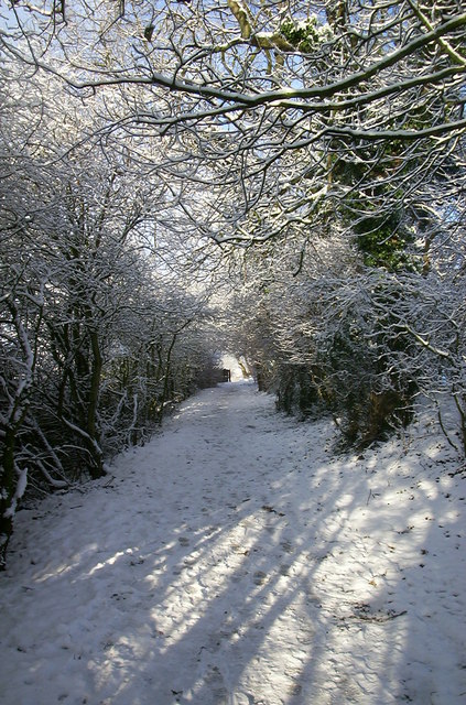
Image: © David Robinson Taken: 29 Dec 2005
The lane giving access to fields behind Browning Hill, seen in winter.
Images are licensed for reuse under creativecommons.org/licenses/by-sa/2.0
Image Location


Leaflet Map data © OpenStreetMap
Latitude
54.717155
Longitude
-1.498411