2011 : B4465 Broad Street, Staple Hill, Bristol
Introduction
The photograph on this page of 2011 : B4465 Broad Street, Staple Hill, Bristol by Maurice Pullin as part of the Geograph project.
The Geograph project started in 2005 with the aim of publishing, organising and preserving representative images for every square kilometre of Great Britain, Ireland and the Isle of Man.

There are currently over 7.5m images from over 14,400 individuals and you can help contribute to the project by visiting https://www.geograph.org.uk
2011 : B4465 Broad Street, Staple Hill, Bristol
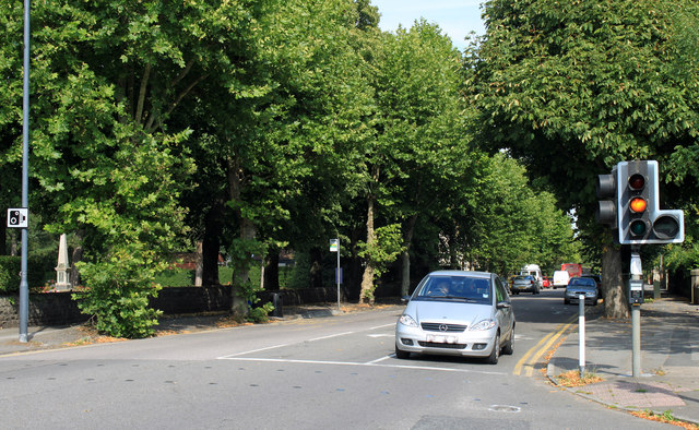
Image: © Maurice Pullin Taken: 2 Aug 2011
Traffic lights at the top of Teewell Hill. Heading east out of Staple Hill toward Mangotsfield and Shortwood. The south west corner of Page Park is opposite with a war memorial extreme left.
Images are licensed for reuse under creativecommons.org/licenses/by-sa/2.0
Image Location
Latitude
51.480903
Longitude
-2.498918