Sandford Heath, woodland
Introduction
The photograph on this page of Sandford Heath, woodland by Mike Faherty as part of the Geograph project.
The Geograph project started in 2005 with the aim of publishing, organising and preserving representative images for every square kilometre of Great Britain, Ireland and the Isle of Man.

There are currently over 7.5m images from over 14,400 individuals and you can help contribute to the project by visiting https://www.geograph.org.uk
Sandford Heath, woodland
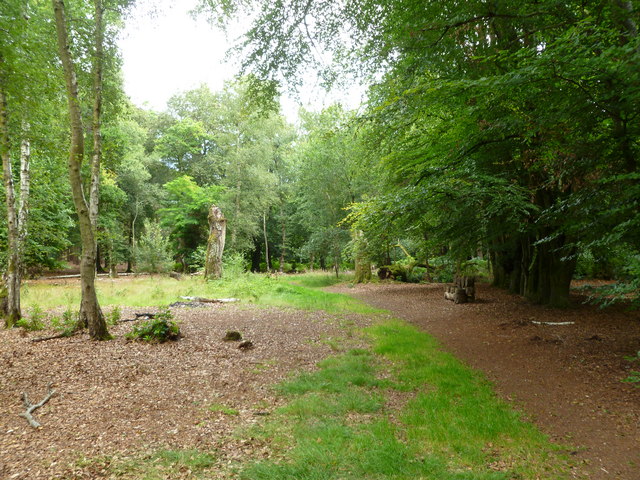
Image: © Mike Faherty Taken: 31 Jul 2011
Near the entrance to the National Nature Reserve. The beeches to the right were apparently planted by an early C18 landowner as part of a tree nursery. http://www.dorsetforyou.com/399711
Images are licensed for reuse under creativecommons.org/licenses/by-sa/2.0
Image Location
Latitude
50.711306
Longitude
-2.093282