Tarrant Rawston, Luton Drove
Introduction
The photograph on this page of Tarrant Rawston, Luton Drove by Mike Faherty as part of the Geograph project.
The Geograph project started in 2005 with the aim of publishing, organising and preserving representative images for every square kilometre of Great Britain, Ireland and the Isle of Man.

There are currently over 7.5m images from over 14,400 individuals and you can help contribute to the project by visiting https://www.geograph.org.uk
Tarrant Rawston, Luton Drove
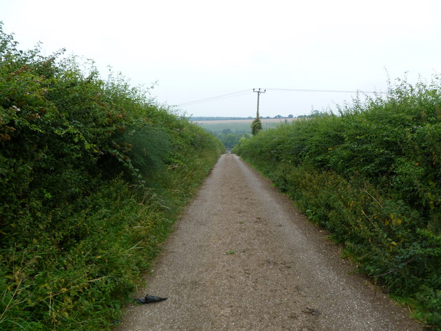
Image: © Mike Faherty Taken: 30 Jul 2011
Presumably once used for driving cattle or sheep from downland to Luton Farm and the village.
Images are licensed for reuse under creativecommons.org/licenses/by-sa/2.0
Image Location


Leaflet Map data © OpenStreetMap
Latitude
50.864813
Longitude
-2.087763