Welsh St. Donats parish church
Introduction
The photograph on this page of Welsh St. Donats parish church by Jeremy Bolwell as part of the Geograph project.
The Geograph project started in 2005 with the aim of publishing, organising and preserving representative images for every square kilometre of Great Britain, Ireland and the Isle of Man.

There are currently over 7.5m images from over 14,400 individuals and you can help contribute to the project by visiting https://www.geograph.org.uk
Welsh St. Donats parish church
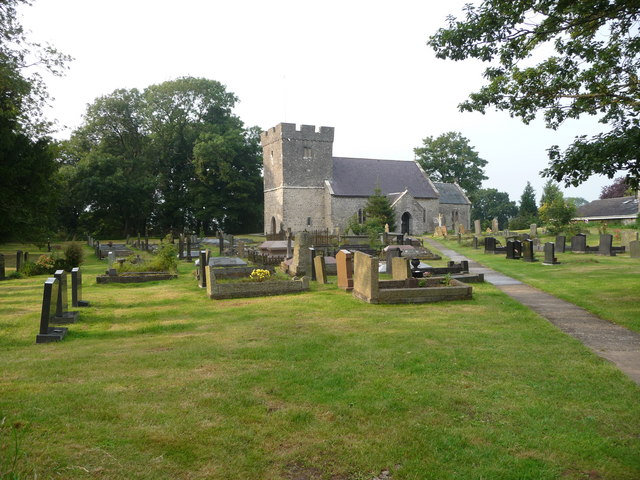
Image: © Jeremy Bolwell Taken: 29 Jul 2011
The village church. What will become of such buildings in the coming years?
Images are licensed for reuse under creativecommons.org/licenses/by-sa/2.0
Image Location
Latitude
51.476827
Longitude
-3.401279