Stone wall and the edge of Llangadog Cemetery
Introduction
The photograph on this page of Stone wall and the edge of Llangadog Cemetery by Jaggery as part of the Geograph project.
The Geograph project started in 2005 with the aim of publishing, organising and preserving representative images for every square kilometre of Great Britain, Ireland and the Isle of Man.

There are currently over 7.5m images from over 14,400 individuals and you can help contribute to the project by visiting https://www.geograph.org.uk
Stone wall and the edge of Llangadog Cemetery
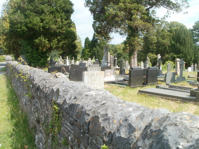
Image: © Jaggery Taken: 3 Jul 2011
This is the NW edge of the cemetery, which occupies a roughly rectangular site, 80 metres by 75 metres, on the south side of Pen-y-graig Road.
Images are licensed for reuse under creativecommons.org/licenses/by-sa/2.0
Image Location
Latitude
51.937332
Longitude
-3.876441