Park, North Muirton
Introduction
The photograph on this page of Park, North Muirton by Richard Webb as part of the Geograph project.
The Geograph project started in 2005 with the aim of publishing, organising and preserving representative images for every square kilometre of Great Britain, Ireland and the Isle of Man.

There are currently over 7.5m images from over 14,400 individuals and you can help contribute to the project by visiting https://www.geograph.org.uk
Park, North Muirton
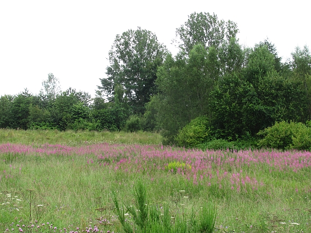
Image: © Richard Webb Taken: 18 Jul 2011
Rough land between the River Tay and the flood defences of Perth.
Images are licensed for reuse under creativecommons.org/licenses/by-sa/2.0
Image Location
Latitude
56.416709
Longitude
-3.445329