Deepdene Park
Introduction
The photograph on this page of Deepdene Park by David Smith as part of the Geograph project.
The Geograph project started in 2005 with the aim of publishing, organising and preserving representative images for every square kilometre of Great Britain, Ireland and the Isle of Man.

There are currently over 7.5m images from over 14,400 individuals and you can help contribute to the project by visiting https://www.geograph.org.uk
Deepdene Park
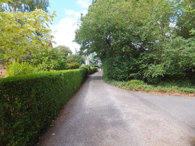
Image: © David Smith Taken: 16 Jul 2011
Deepdene Park is a private road leading to several houses which are built on the land of a former (plant) nursery. Most have large gardens. At the north end, the road joins Wonford Road
Images are licensed for reuse under creativecommons.org/licenses/by-sa/2.0
Image Location
Latitude
50.716613
Longitude
-3.514326