Round House, Lintonville Parkway
Introduction
The photograph on this page of Round House, Lintonville Parkway by Oliver Dixon as part of the Geograph project.
The Geograph project started in 2005 with the aim of publishing, organising and preserving representative images for every square kilometre of Great Britain, Ireland and the Isle of Man.

There are currently over 7.5m images from over 14,400 individuals and you can help contribute to the project by visiting https://www.geograph.org.uk
Round House, Lintonville Parkway
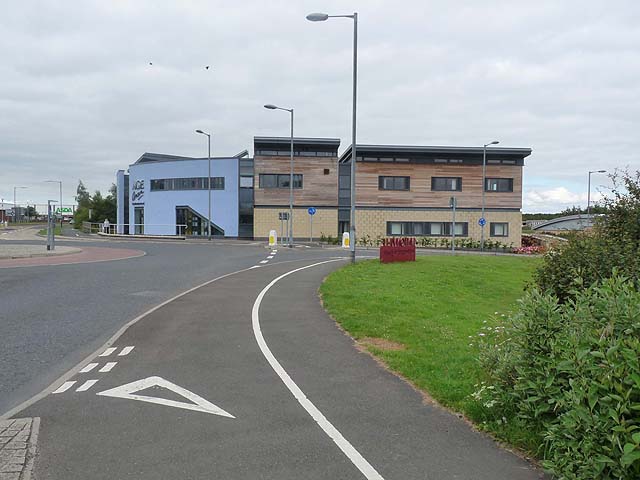
Image: © Oliver Dixon Taken: 13 Jul 2011
Building on a trading estate housing Age Concern (recently renamed Age UK). The pavement is shared with cyclists on National Cycle Network route 155.
Images are licensed for reuse under creativecommons.org/licenses/by-sa/2.0
Image Location
Latitude
55.186683
Longitude
-1.566505