Sheepwash Weir
Introduction
The photograph on this page of Sheepwash Weir by Oliver Dixon as part of the Geograph project.
The Geograph project started in 2005 with the aim of publishing, organising and preserving representative images for every square kilometre of Great Britain, Ireland and the Isle of Man.

There are currently over 7.5m images from over 14,400 individuals and you can help contribute to the project by visiting https://www.geograph.org.uk
Sheepwash Weir
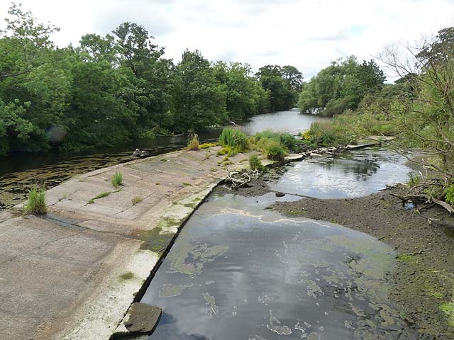
Image: © Oliver Dixon Taken: 13 Jul 2011
Looking upstream from Sheepwash Bridge. The river level in the Wansbeck is low, and is only overlapping the rim of the weir at the lower end.
Images are licensed for reuse under creativecommons.org/licenses/by-sa/2.0
Image Location
Latitude
55.165589
Longitude
-1.599541